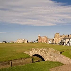
Home > Europe > United Kingdom > Scotland > Fife > St Andrews
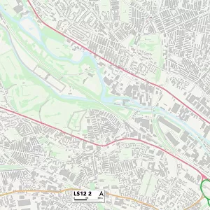
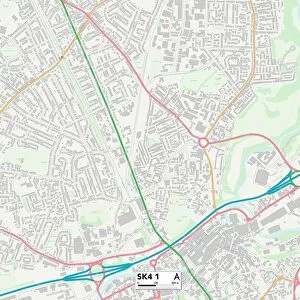
Northampton NN1 2 Map

![]()
Wall Art and Photo Gifts from Map Marketing
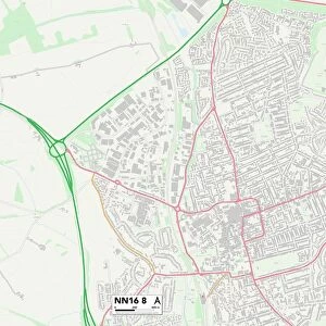
Northampton NN1 2 Map
Postcode Sector Map of Northampton NN1 2
Media ID 19976093
Arundel Street Bradshaw Street Broad Street Brook Street Castle Hill Castle Street Castle Terrace Chalk Lane College Street Compton Street Cromwell Street Fish Street Francis Street Gold Street Grafton Place Grafton Street Greyfriars Herbert Street King Street Market Square Northampton Phoenix Street Pike Lane Regent Street Sheep Street Silver Street Spring Lane St Andrews Road St Andrews Street St Marys Street The Ridings Tower Street Wellington Street Wood Hill Drapery Horse Market
FEATURES IN THESE COLLECTIONS
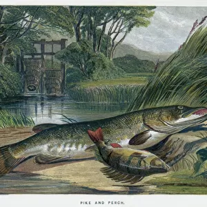
> Animals
> Fishes
> Related Images
> Animals
> Mammals
> Bovidae
> Sheep
> Animals
> Mammals
> Muridae
> Little Wood Mouse
> Architecture
> Towers
> Castles
> Arts
> Artists
> H
> Francis Harding
> Arts
> Artists
> H
> Harding Harding
> Arts
> Artists
> P
> Francis Place
> Europe
> United Kingdom
> Scotland
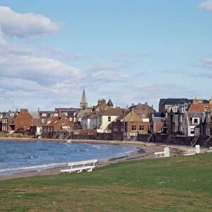
> Fife
> St Andrews
> Map Marketing
> Postcode Sector Maps
> NN - Northampton
> Maps and Charts
> Related Images
MADE IN THE USA
Safe Shipping with 30 Day Money Back Guarantee
FREE PERSONALISATION*
We are proud to offer a range of customisation features including Personalised Captions, Color Filters and Picture Zoom Tools
SECURE PAYMENTS
We happily accept a wide range of payment options so you can pay for the things you need in the way that is most convenient for you
* Options may vary by product and licensing agreement. Zoomed Pictures can be adjusted in the Cart.