Home > Europe > United Kingdom > England > London > Sights > Tower Bridge
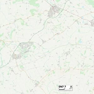
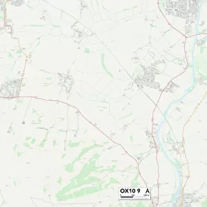
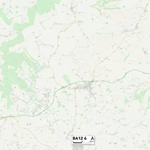
Wiltshire BA12 6 Map

![]()
Wall Art and Photo Gifts from Map Marketing
Wiltshire BA12 6 Map
Postcode Sector Map of Wiltshire BA12 6
Media ID 19965728
Angel Lane Ashgrove Barrow Street Barton Lane Bells Lane Bishops Close Broom Road Burton Butts Lane Castle Street Chapel Lane Church Road Church Street Coopers Lane Cote Lane Crab Lane Downside Close Forge Lane High Street Hillside Close Homefield Long Hill Long Lane Lynch Close Manor Road Mill Lane Mount Pleasant New Close New Cut New Road North Road North Street Nursery Gardens Oak Lane Prospect Place Queens Road Rook Street Salisbury Street Shaftesbury Road Spinners Way Springfield Road The Causeway The Drove The Fields The Lynch The Square The Street The Yews Top Lane Tower Road Towns End Townsend Close Underhill Walnut Road Water Street Wet Lane White Cross White Road Wiltshire Woodlands Road Bonham Clements Lane Mere Steep Street Stourton Well Head Wolverton
FEATURES IN THESE COLLECTIONS
> Animals
> Birds
> Passerines
> Crows And Jays
> Rook
> Animals
> Crustaceans
> Crab
> Architecture
> Towers
> Castles
> Architecture
> Towers
> Churches
> Architecture
> Towers
> Tower Bridge
> Europe
> United Kingdom
> England
> London
> Sights
> Tower Bridge
> Europe
> United Kingdom
> England
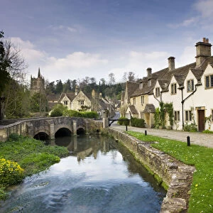
> Wiltshire
> Burton
> Europe
> United Kingdom
> England
> Wiltshire
> Church End
> Europe
> United Kingdom
> England
> Wiltshire
> East Knoyle
> Europe
> United Kingdom
> England
> Wiltshire
> Mere
> Map Marketing
> Postcode Sector Maps
> BA - Bath
MADE IN THE USA
Safe Shipping with 30 Day Money Back Guarantee
FREE PERSONALISATION*
We are proud to offer a range of customisation features including Personalised Captions, Color Filters and Picture Zoom Tools
SECURE PAYMENTS
We happily accept a wide range of payment options so you can pay for the things you need in the way that is most convenient for you
* Options may vary by product and licensing agreement. Zoomed Pictures can be adjusted in the Cart.